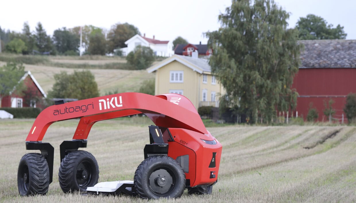
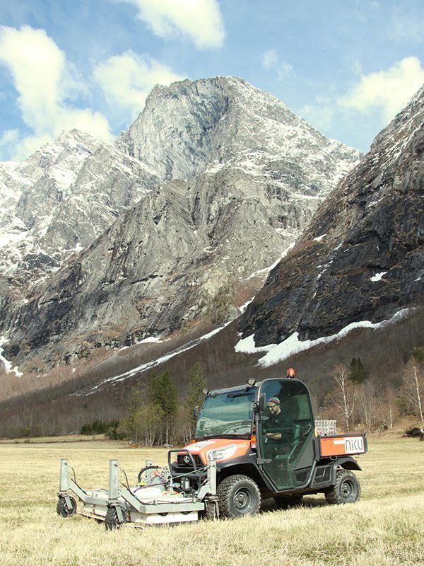
The Norwegian Institute for Cultural Heritage Research (NIKU) and AutoAgri are launching a revolutionary self-driving ground penetrating radar (GPR) for archaeological survey. The technology promises increased efficiency, climate friendly solutions, and accurate mapping of hitherto undiscovered cultural heritage.
Geophysical archaeology and research
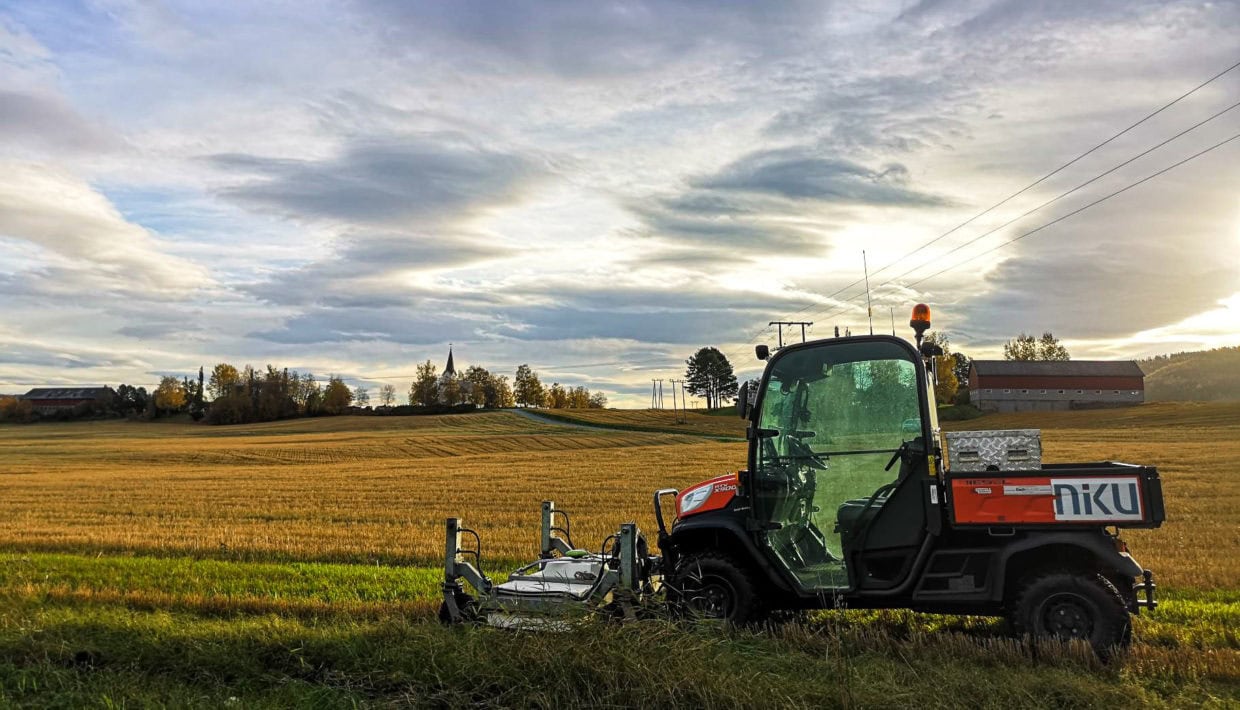
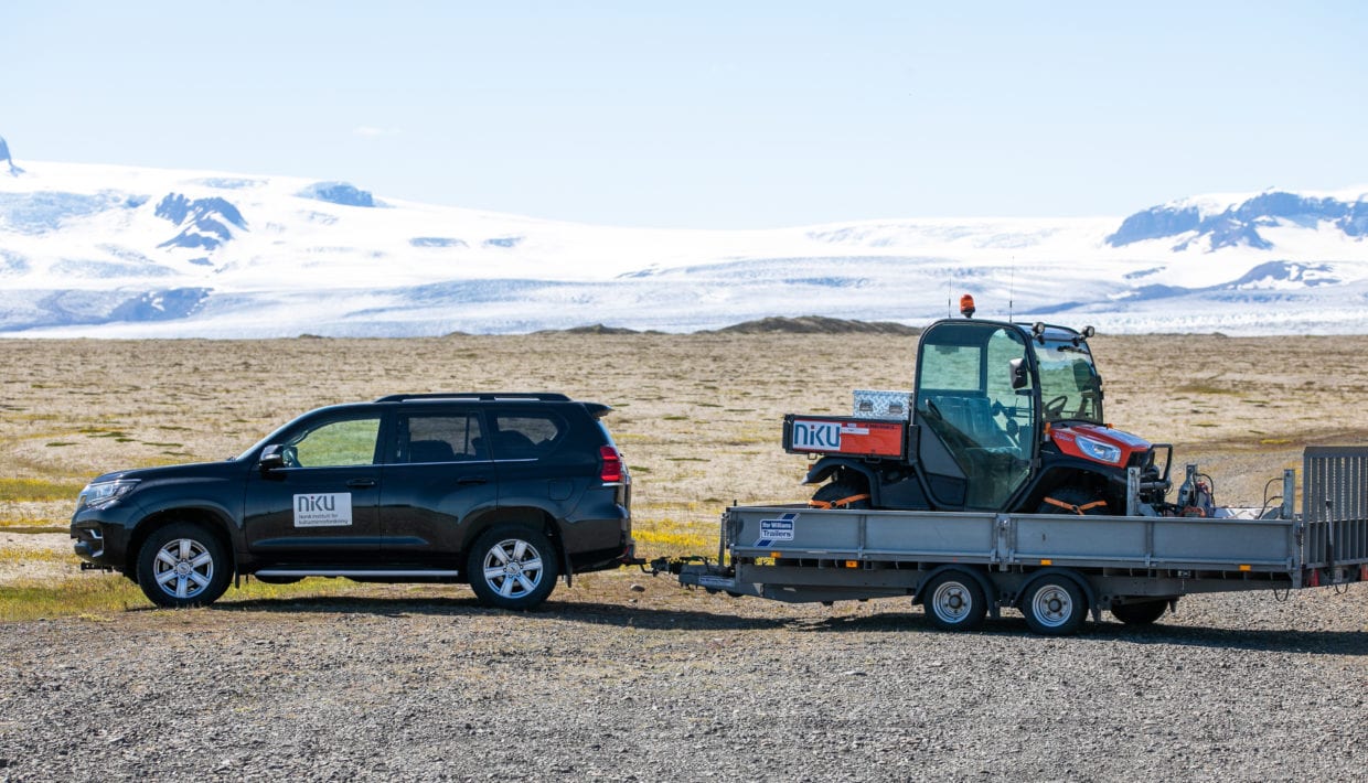
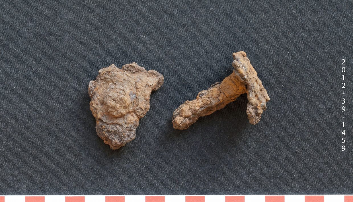
Digital archeology is not just about discovering, recording and documenting cultural heritage, but of course also working on the findings that arise through archaeological field work. Since 2010, NIKU has worked intensively with the development and use of geophysical surveys within archaeology. First, with less than one channel’s systems, and later with the international research project LBI ArcPro and larger multi-channel motorized systems.
From at first just glimmers of burial mounds in the data sets, we have now come to where we pick out details such as post holes, shelters, wall ditches and more at the archaeological sites. In addition to working on the development of technology, several of the county authorities now use geophysics as part of the daily registration work in connection with the planning work.
The next step is to better utilize the archaeological results to write history as well. From this site you can follow our research activities related to digital archaeology.
- Status In progress
- Client NIKU
- Time 2017-