Registration of cultural heritage with drones
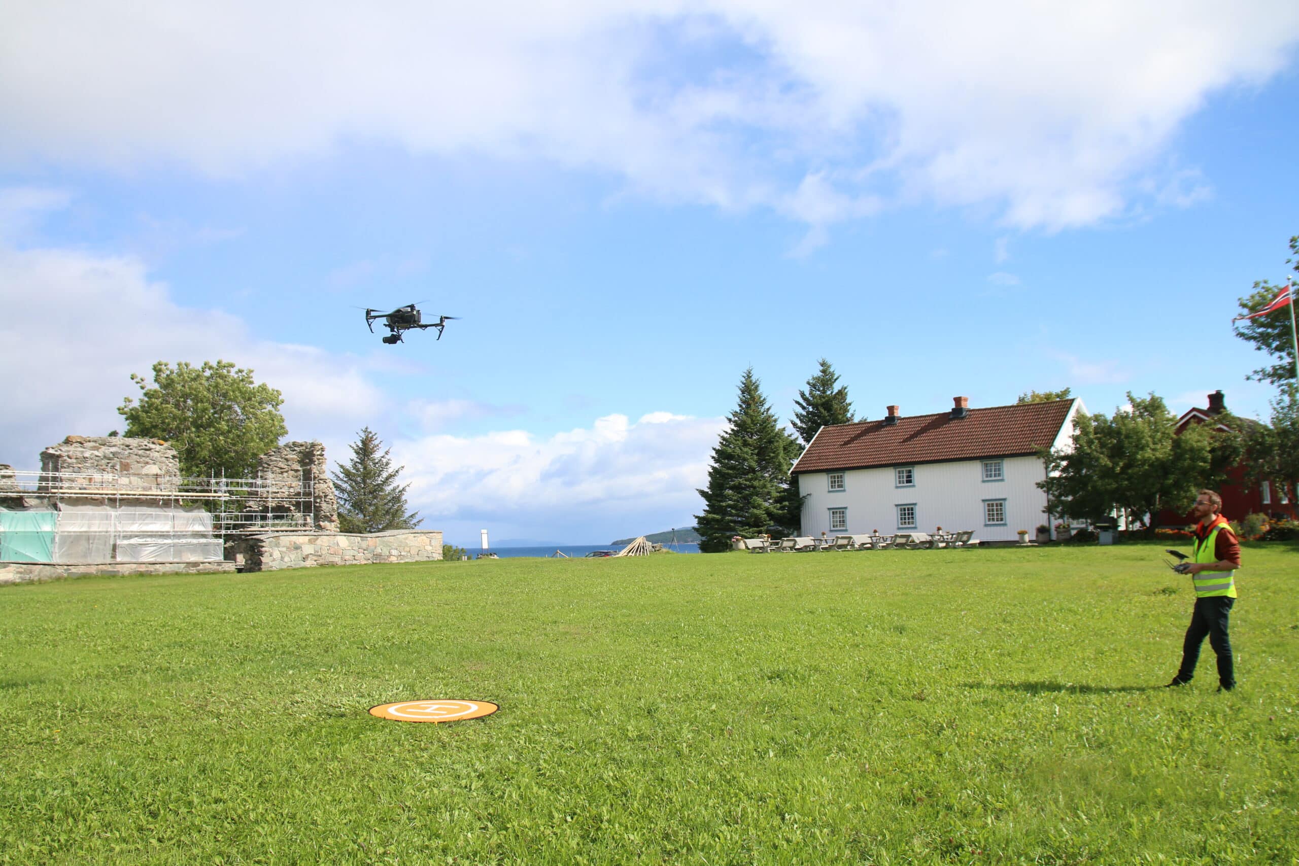
NIKU is certified as a drone operator and offers registration, terrain modeling, monitoring, and documentation of cultural heritage using drones.
Contact us
We combine drone flights with high expertise in the field of cultural heritage.
Our team includes trained drone pilots, as well as an architect, engineer, surveyors, and various specialists in cultural heritage.
- We can provide accurate cultural-historical documentation of a protected or valuable building or building environment.
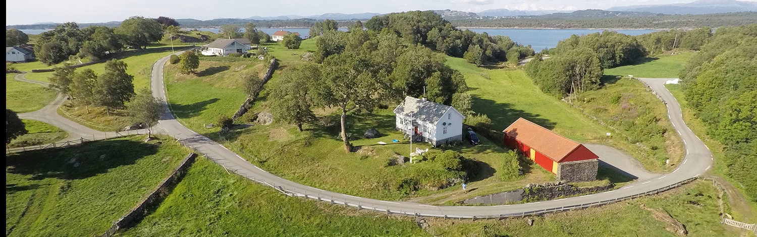
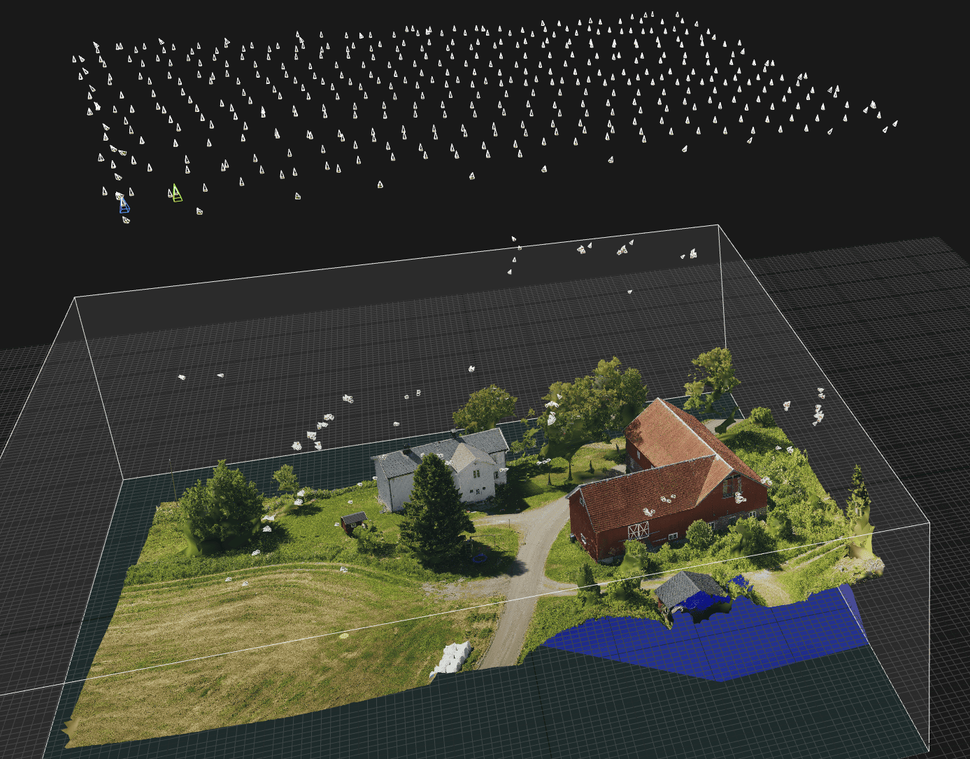
- We conduct high-resolution aerial photography and filming. The images would typically be used as a basis for orthophotos (rectified images), plans and section drawings, and 3D models.
The results can be easily shared online, e.g., on Sketchfab or imbedded in social media. They can also be used in Office 365 applications such as Word and PowerPoint.
The cultural heritage sites can be further inspected with analytical tools to measure distances and volumes, create sections, etc., in a wide range of programmes.
Combining Drone Surveys with Other digital Tools
In our deliveries, datasets from the drone are combined with digital maps, aerial and ground-based laser scanners, satellite imagery, and historical maps.
We can also offer drone registration together with geophysical surveys if desired.